Survey and geomatics services

Geomatics
Our geomatics department has 4 components: data acquisition, 3D processing, and modelling, data engineering as well as data dissemination and decision support. Our team has state-of-the-art equipment to support you in your BIM or digital twin projects.

Land surveying
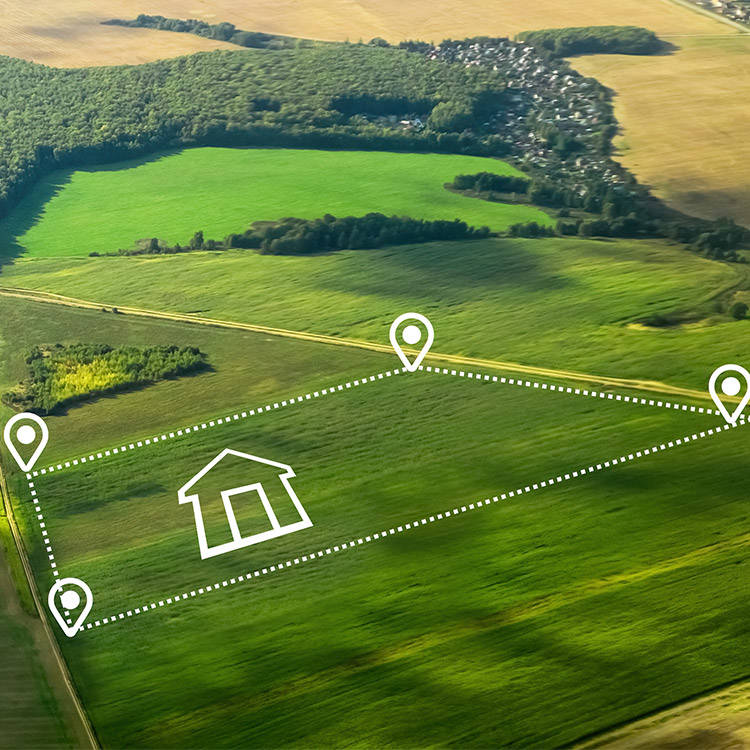
Various land survey services can be provided by our land surveyors in connection with your real estate project. Whether it is preparing a plan and a certificate of implantation, picketing your land, the amicable or judicial demarcation, or the subdivision and land subdivision, our services will be rendered in a thorough and professional manner and in accordance with the land surveying guidelines in place.

Construction surveying
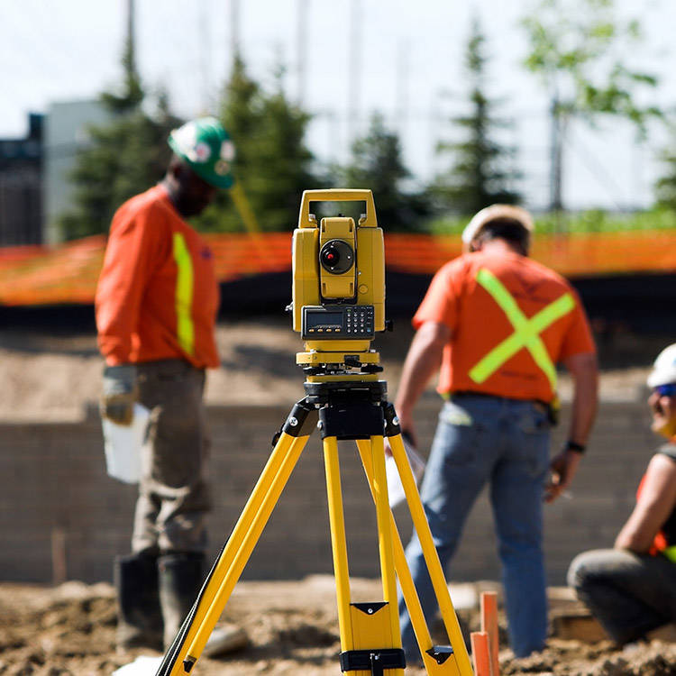
Whether it is for a topographical survey, the implementation and alignment of axes, the implementation of foundation piles, volumetric calculations, as built surveys, or for the measurement of structure displacement (monitoring), Groupe Civitas can offer you a personalized service according to your needs.

Certificate of location
Are you selling your property? If you have made modifications to the building or land, you will need to provide an updated certificate of location to the new owner. Our land surveyors will issue the complete documents that will be useful to you for your real estate transaction. Your financial institution or notary can request the certificate of location.
